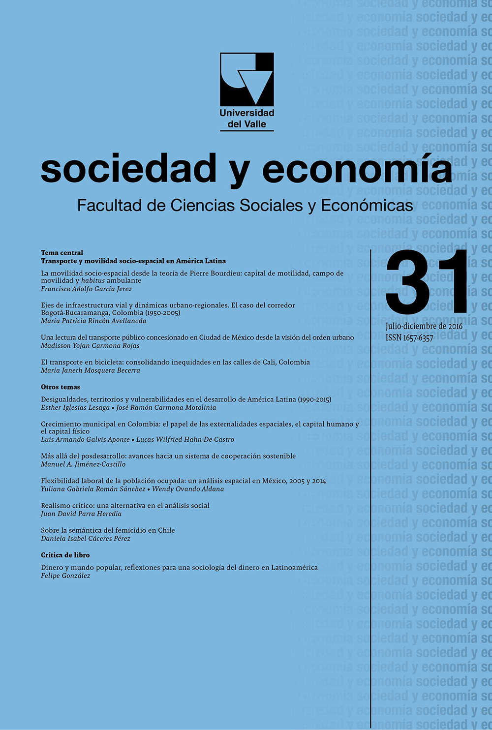
Road Infrastructure Axes and Urban-Regional Dynamics. Study Case of the Road between Bogotá and Bucaramanga, Colombia (1950-2005)
Road infrastructure regional-urban dynamics impact territory economic dynamics.
Main Article Content
The main question of present article is focused around how the territorial planning and the design of transportation infrastructure impact and generate conditions of territorial unbalance. To solve this question, the case study of the road axis which connects the cities of Bogotá D.C., capital of Colombia, and Bucaramanga, capital of Santander Department,is presented. Through a series of indicators, their dynamics were reviewed in order to identify changes produced in the period 1950-2005, during which it happens to have only one communication route to have three roads. During that period, clear signals of population migration, decay of the economic activity and traffic flows in the towns located along the ancient road were found. The old road enters into disuse when the second option appears.
Rincón Avellaneda, M. P. (2016). Road Infrastructure Axes and Urban-Regional Dynamics. Study Case of the Road between Bogotá and Bucaramanga, Colombia (1950-2005). Sociedad Y Economía, (31), 33–70. https://doi.org/10.25100/sye.v0i31.3888
Revista sociedad y economía editada por la Facultad de Ciencias Sociales y Económicas de la Universidad del Valle se encuentra bajo una Licencia Internacional Creative Commons Atribución - No comercial 4.0
Basada en una obra en http://sociedadyeconomia.univalle.edu.co


